/-84.055155,34.042716,12/300x186@2x?access_token=pk.eyJ1IjoibHpjYW11dGkiLCJhIjoiY2o3a281dWJvMHE4ajMzbGF4enJyNHRiciJ9.DhYjvPk5E_wJvys5DU5v2A)
Anticipating Growth
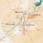
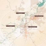
Metro Atlanta’s population has been booming for decades, and that growth is expected to continue. The Atlanta Regional Commission projects a population growth of approximately 2.5 million people by 2040. Such growth is expected to lead to more dense urban and suburban areas and an ever growing demand for urban green space. In the face of increasing development, the challenge for the region will be to accommodate the increased density while diminishing the impacts of this growing population on riparian habitats and streamflow.
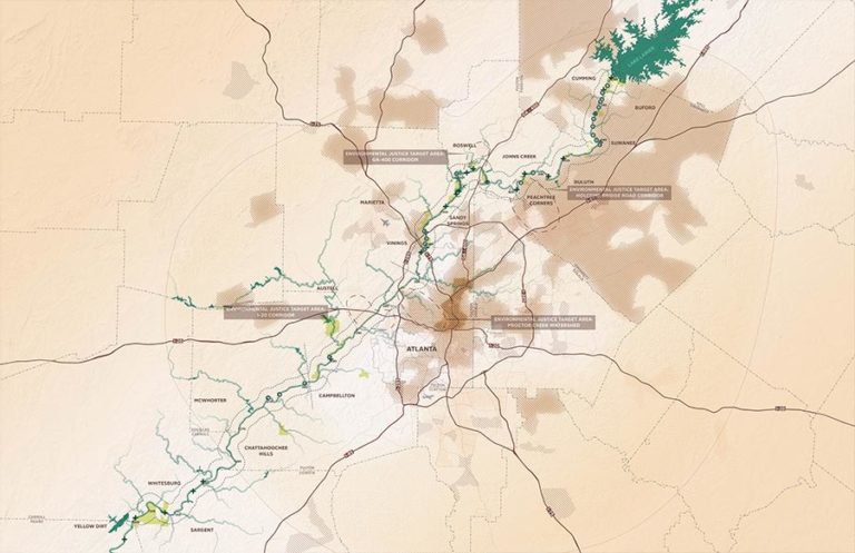
The Chattahoochee River Greenway Study represents an opportunity to anticipate metropolitan growth, plan and preserve the integrity of the River corridor, and provide equitable access to green space and recreational opportunities to an ever-growing population. Significant population growth is expected in the northern portion of the study area, particularly along the southern side of the River, which is likely to increase usership of the large number of parks and public resources along the River and increase upstream environmental impacts within the watershed. The Greenway Study should anticipate this growth, and focus on identifying key connective segments of the River corridor to prioritize what will provide equitable access to public resources, distribute impacts between parks and open spaces, and identify key buffer areas for restoration and water quality protection. Regional planning tools should be considered for this area that emphasize best management practices for development that maximize stormwater management, conserve open space, and reduce sedimentation impacts to the River.
While ARC data shows less development pressure to the south, large landowners might change development dynamics through the sale or redevelopment of large, contiguous parcels. Regional planning tools should be considered that prioritize access to transit, environmental protections, and access to open space along the water’s edge for any large changes in land use, such as cluster zoning and transit-oriented development.