/-84.394878,33.751951,12/300x186@2x?access_token=pk.eyJ1IjoibHpjYW11dGkiLCJhIjoiY2o3a281dWJvMHE4ajMzbGF4enJyNHRiciJ9.DhYjvPk5E_wJvys5DU5v2A)
Trail Alignment Begins!

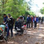
Over four days from August 19th to the 22nd, the Study Team met at Atlanta City Studio to begin a first draft of three alternative trail alignments spanning the entire 100-mile project area of the Chattahoochee RiverLands.
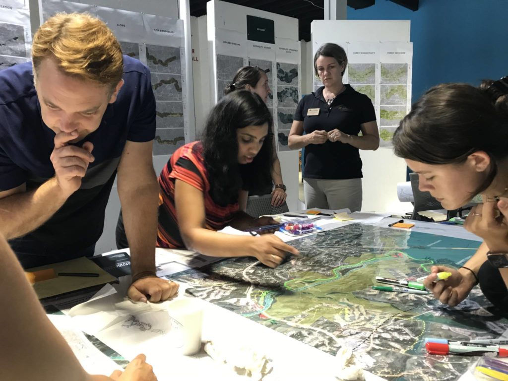
The team worked over each 5-mile segment of the river to draw three trail options–the Path of Least Resistance, the Path of Least Ecological Impacts, and a Network of Destinations (more information on each of these below). Each of these alignment options utilize various datasets compiled by the Design Team as part of the Existing Conditions Analysis. The Path of Least Ecological Impacts was informed by additional analysis conducted by Biohabitats, a member of the Design Team. Before physically drawing on print-outs of each 5-mile segment, the team consulted data from the Existing Conditions Analysis, consulted Biohabitats’ findings, and reviewed feedback from past engagement with stakeholders, including material collected at the Public Forums, Chattahoochee Working Group meetings, and the Sub-Area Committee workshops.
This first draft of the three alternative trail alignments is an informed starting point that will be further elaborated on in coming months – while outlining an initial approach, the team has already started to fold in local knowledge, integrating the plans and priorities of the trail’s eventual users. Upcoming opportunities to provide feedback will be posted on the website under the “Engage” tab – please stay tuned for updates.
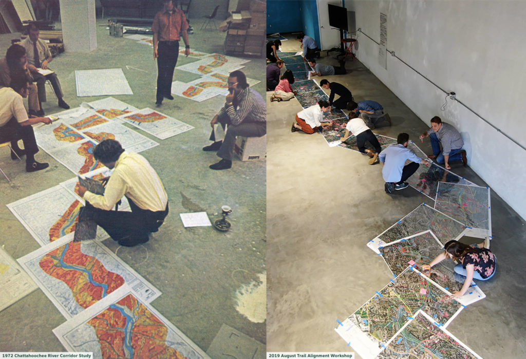
Our series of August workshops and the overall Study build on a long history of local environmental leadership to protect the Chattahoochee River. In 1972, the Atlanta Regional Commission (ARC) conducted a Chattahoochee Corridor Study to address conflicts between growing development pressures and the need for explicit environmental protections for the Chattahoochee River. This study led to the adoption of the Metropolitan River Protection Act in 1973–which, in turn, officially established the Chattahoochee River Corridor and the Chattahoochee Corridor Plan, both of which remain in effect today. In particular, the 1972 study examined natural factors critical to the protection of land and water resources – both of which would be affected by rapid-onset development. Each factor was ranked according to its vulnerability to incipient development, then the combined scores of each factor were mapped throughout the study area. Each factor was assigned an allowable percentage of land disturbance and impervious surface area, limiting potential negative impacts in years to come.
During this workshop, the Design Team was joined by Jim Santo, one of the original authors of the Metropolitan River Protection Act, for Ecology Studio Hours held on Wednesday. The primary goal of this session was to review Biohabitats’ 2019 analysis criteria and methodology with informed input.

Read here for more information about how the first draft of the trails were drawn in 2019, almost 50 years after the creation of the Atlanta Regional Commission’s Chattahoochee Corridor Study:
THREE TRAIL ALIGNMENT TYPES
- Path of Least Resistance: This trail alignment prioritizes the ownership pattern (including publicly-owned land, easements, right-of-way, and more), the topography, and the connection to existing trails;
- Path of Least Ecological Impacts: This trail minimizes impact to ecologically sensitive areas, diminishing landscape fragmentation and particularly avoiding activity in areas prone to flooding;
- A Network of Destinations: This trail alignment creates a network of priority destinations or nodes. For example, a trail alignment might prioritize connecting a historic mill, an existing park, neighborhood library, and nearby MARTA stop. This alignment is more “urban” in nature, focusing on areas slightly further away from the river’s edge while prioritizing access to all communities throughout the rivershed.
BIOHABITAT’S TRAIL SUITABILITY ANALYSIS:
ECOLOGICAL TRAIL SUITABILITY ANALYSIS: This analysis considers ecological sensitivity and trail suitability with respect to the following eleven factors:
- High Conservation Priority Species
Presence
- Interior Forest
- Wetlands
- Forest Proximity to Streams
- Floodplains
- Soil Erodibility
- Slope
- Vertical Habitat Diversity
- Forest Patch Size
- Interior Forest Connectivity
- High Water Infiltration Areas
The factors were each weighted with respect to their relative importance for determining trail suitability, with factors such as High Conservation Priority Species and Interior Forest weighted highest. During the workshop, the team worked closely with the Ecological Trail Suitability Analysis map at the scale of the large base maps to identify areas (hatched in blue) that would be most important for the trail to circumnavigate in order to avoid disrupting critical ecological processes.
ECOLOGICAL TRAIL CONNECTIVITY ANALYSIS
The model draws a path, for each side of the river, running from north to south, connecting existing water access points and selected parks along the way. The path follows the most suitable areas and passes through the fewest ecological obstacles identified in the Trail Suitability Analysis. Additionally, the model identifies other areas that are physical obstacles for potential trail connectivity such as building footprints, lakes, ponds, and vehicular road surfaces without bike lanes. Road categories with higher traffic, such as highways, are a greater obstacle in the model than local neighborhood roads. Existing trails and bike lanes are factored in the model as the most desirable alignment. This model does not factor in property ownership. Considering this path, as well as property ownership, and existing infrastructure, the team generated an alignment option that would be the least ecologically impactful path.