/-84.076121,34.158123,12/300x186@2x?access_token=pk.eyJ1IjoibHpjYW11dGkiLCJhIjoiY2o3a281dWJvMHE4ajMzbGF4enJyNHRiciJ9.DhYjvPk5E_wJvys5DU5v2A)
Buford Dam Site Visit
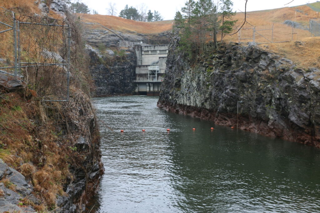
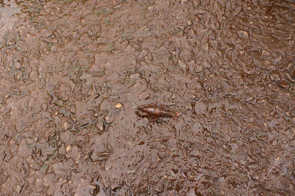
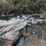
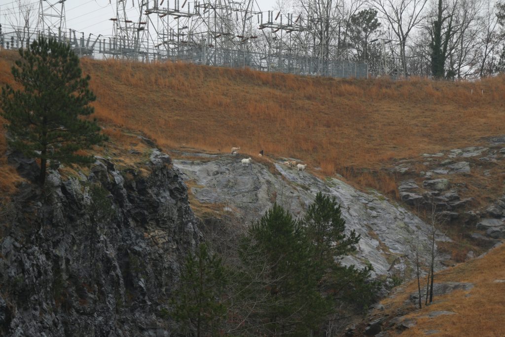
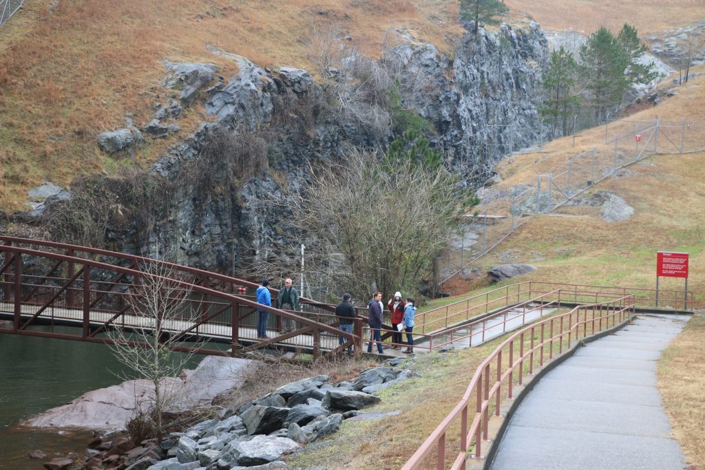
The Design Team’s first site visit during the 100-mile Windshield Driving Tour was to the most northern point of the project site at Buford Dam. The dam was built in 1946 to prevent flooding. Today, the dam provides electricity for over 25,000 homes in the area and maintains navigable waters downstream. The deep and cold waters of Lake Lanier support downstream cold-water trout fisheries in the River. While there, we spotted goats along the rock walls of the dam – perhaps helping to remove some invasive kudzu. On the way down to the Chattahoochee River National Recreation Area: Bowmans Island North Unit, we also spotted a crawfish – an indicator species whose abundance can be used as a proxy for the ecosystem health.
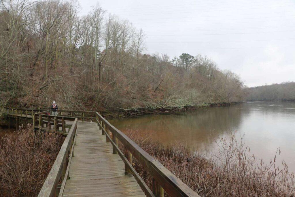
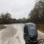
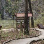
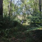
In order to learn about the Chattahoochee River, the full project team participated in a 100-mile Windshield Driving Tour – a multi-day driving tour along the banks of the full 100-mile river corridor from December 10-14, 2018. The tour allowed the Design Team to ground truth GIS data with on-the-ground site explorations, photography and video documentation. The Design Team engaged with the community members and interviewed stakeholders on the river as face-to-face research that informs the project and forces an authentic identity for the Chattahoochee RiverLands Greenway. Download the full summary of the tour to learn more.