/-84.559107,33.756449,12/300x186@2x?access_token=pk.eyJ1IjoibHpjYW11dGkiLCJhIjoiY2o3a281dWJvMHE4ajMzbGF4enJyNHRiciJ9.DhYjvPk5E_wJvys5DU5v2A)
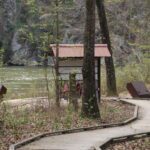
Fulton Industrial Site Visit
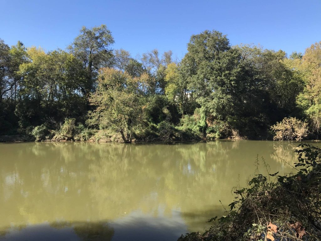
While Atlanta has a strong relationship with nature, sometimes called a “city in the forest,” it is largely cut off from the Chattahoochee River by industrial warehouses and processing facilities along the riverbank. The riverfront area in Atlanta is also known as “Fulton Industrial“ – a 7.5 square mile stretch along Fulton Industrial Boulevard that brings in millions of dollars in tax revenue through industrial uses. Tributaries like Proctor Creek, Sandy Creek, and Utoy Creek have carved out pathways between Downtown Atlanta and the River, tracing potential trail alignments for the Chattahoochee RiverLands’ “tributary trails.”
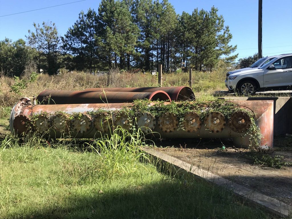
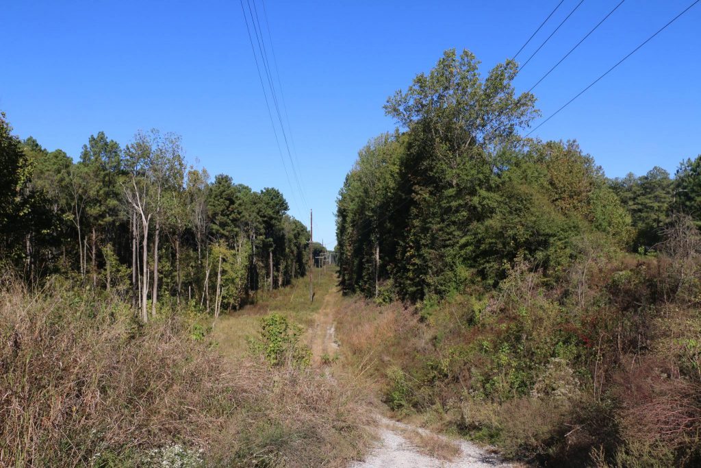
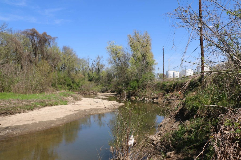
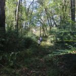
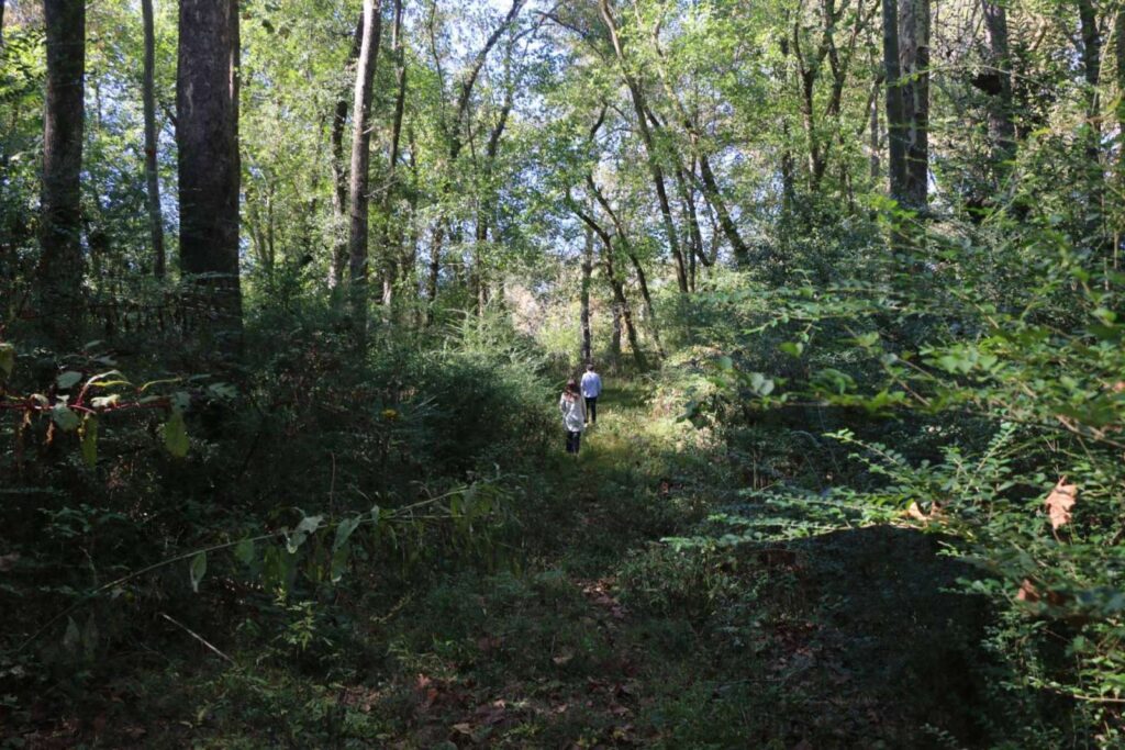
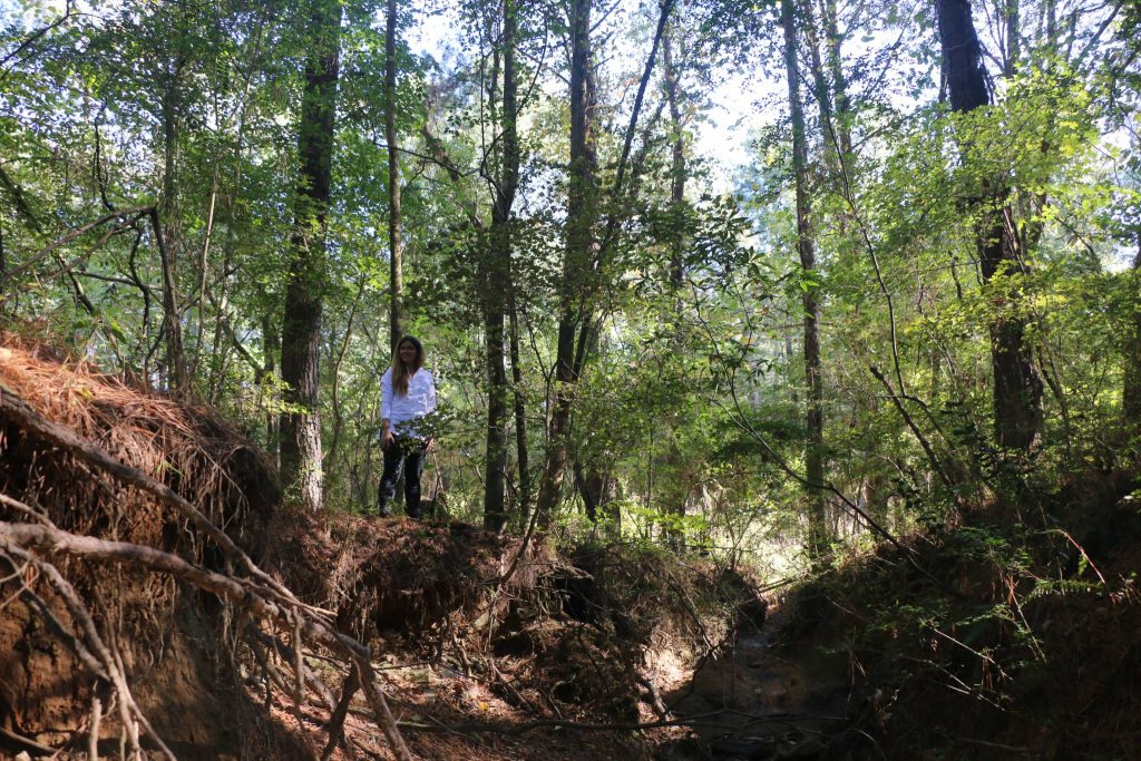
In October 2019, Design Team visited the small but lush strip of riparian forest separating the River and industry within earshot of the local railroad line. This area has a wild character, with dramatically eroded creek beds and tall trees covered in vines. Along the utilities easements there are views to the north and south. The landscape between the easements and the river is impacted by kudzu, privet, and strewn tires – an ideal location for ecological restoration and clean up.
The adjacent communities in West Atlanta include the majority African American neighborhood of Collier Heights, historically divided by the development of 285 and I-20, which has borne the brunt of the city’s environmental injustices through the years. Reactivating this area with a greenway along the easement and tributary trails will require particular thought as to impacts on those neighborhoods – and are potentially an opportunity to change current dynamics, reconnecting the city’s historic communities to each other and to the River.